IARPA is Investing in AI That Constantly Analyzes Worldwide Satellite Images
Ammit Jack/Shutterstock


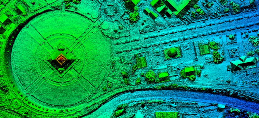
The IC envisions a system that can stitch together archived and real-time data from satellites, and link it to footage from planes, drones and other aircraft.
The Intelligence Community’s research arm is working to build a machine-learning system that would automatically monitor large-scale construction projects and other “anthropogenic activity” across the planet.
The Intelligence Advanced Research Project Activity on Friday released a draft solicitation for an advanced analytics tool that could stitch together satellite images from around the world and detect human activity on the ground. Intelligence agencies plan to use the tech’s “broad-area search” capability to monitor worldwide construction projects in real-time.
Ultimately, the Space-based Machine Automated Recognition Technique program aims to lift the burden off human analysts, who today find themselves crushed under a growing mountain of data.
“The volume of [geospatial intelligence] continues to grow, while analysts struggle with the volume, variety and velocity of space-based data to support local, regional and national decision-making,” IARPA officials wrote in the draft broad agency announcement. “SMART seeks to bridge an expertise, infrastructure and data preparation gap by developing easy-to-implement tools for [geospatial intelligence] analysts to efficiently analyze, assess, and utilize big data.”
Though their scopes somewhat differ, the SMART harkens back to the Air Force’s controversial Project Maven program, which sought to use artificial intelligence to automatically analyze video footage collected by drones.
According to the solicitation, the tech developed under the SMART program must be able to automatically merge images gathered by U.S., foreign and commercial satellites to analyze how different sites change over time. The system would be able to take in both real-time and archived data, and accommodate for weather patterns and other environmental factors that could affect image quality.
Selected vendors must also make sure the system can link satellite photos to imagery gathered by planes, drones and other aircraft, the solicitation said.
The program will run in three phases and take roughly four years to complete. IARPA is accepting public comments on the solicitation through May 10.
The initiative comes as the Intelligence Community prepares to invest “tens of billions” of dollars in commercial cloud capabilities that would support data-heavy applications like artificial intelligence. Real-time analysis of global satellite imagery would require an enormous amount of data storage and computing power, and in the SMART program solicitation, IARPA officials said vendors should be able to integrate their tech into a cloud environment.
NEXT STORY: Should We Give Kids an Internet of Their Own?