Tech Holds the Key to Overlapping Climate, Conservation and Peacebuilding Goals
FrankRamspott/istockphoto


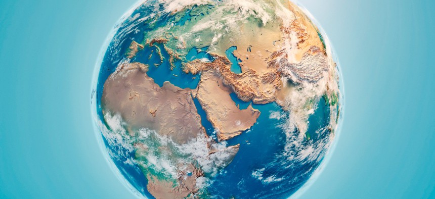
Satellite Imagery Can Empower Communities and NGOs worldwide.
The first time that the Pentagon identified climate change as a national security risk was in the 2010 Quadrennial Defense Review. In the two reports since, and in the upcoming 2022 National Defense Strategy, the renamed QDR, the dangers of unabated climate change remain a major national security threat.
Is there a role to play for technology in easing the likelihood of conflicts around the world that are sparked by shrinking water supplies and less arable land? The Center for Strategic and International Studies hosted a webcast Dec. 7 to bring together tech and nonprofit executives to discuss “Going Green While Building Peace: How Can Technology Drive Climate, Conservation, and Peacebuilding Goals?”
Imagine a Venn diagram with three circles, one labeled Technology, one labeled Climate and one labeled Conflict. Where they overlap represents how technology can harness climate data to minimize conflict, said Erol Yayboke, the CSIS director and senior fellow for its Project on Fragility and Mobility.
“As both climate and peace practitioners, we are increasingly aware of this intersection,” said Sahar Tabaja, the Global Practice Lead, Stability and Transition, with Chemonics International. “Of the 25 countries most vulnerable to climate change, 14 are conflicted.” Those countries are ill-equipped to handle the effects of climate change, she added.
For example, Sinjar Province in northern Iraq has suffered from sporadic rainfall and unseasonably high temperatures, she said, drastically reducing their crop production. “This has an impact on internally displaced families that are looking to return to Sinjar but who are finding they can’t make a living,” she explained. “That’s going to feed into the conflict dynamics” in the regions where they had fled to from Sinjar.
Another example she described is from Yemen, where there is increased conflict over the parts of the country that have water resources. “We’re seeing some armed actors weaponizing the impact of climate change,” Tabaja said.
Anjali Nayar is the founder of This Is My Back Yard, or Timby, which provides a suite of digital tools to help groups report, investigate and share information about complex and sensitive issues, such as human rights abuses or corruption, in a secure, efficient way. She said the idea of collecting and analyzing climate data to help alleviate these kinds of crises has to also include sharing the data with the local communities being affected, whether herders or settled peoples. “We’re in an area of the world where it’s really difficult to create that” path from collection to action, she said. “Twenty-five percent of the world’s population survives on smallholder farming. [Problems] often come from miscommunication between national governments and local communities.”
Peter Beaumont, Strategic Count Director, International Development & Humanitarian, with U.K.-based Satellite Applications Catapult, said his group’s core focus is to make sure that governments, academia and the private sector maximize the use of satellite geodata to identify cross-border conflicts and the condition of resources such as water and arable land.
“Satellites are very good at monitoring things like soil moisture,” Beaumont said. “There’s almost a 50-year archive of data. Satellites are a rich source of information, they cover large areas, and are very cost effective … The fusion of imagery with other geospatial data [provides] visualization the decision-makers can use.”
He showed a series of images of Africa that can be used to show where people migrate based on food availability. “If you analyze them over many months, even years … you can start to compare and see where the changes [are] having an impact,” he said. “When you bring all these together, you can get a really good picture of food insecurity and water insecurity.”
Beaumont envisions combining all the satellite images with cloud technology and analytics to enable “continental-scale management,” such as being able to provide a 48-hour flash flood forecast for India that can be turned into broadcast warnings.
He cautioned that governmental and non-government organizations (NGOs) looking to use this kind of technology must be aware of local sensitivities about perceived “spying,” and to think about geospatial ethics. “Make sure no one is harmed by bringing these datasets together, and they’re not shared with groups that might harm other groups,” he said.
Dr. Alexander Ramsbotham, Director of Research and Innovation with Conciliation Resources, a London NGO dedicated to conflict resolution around the globe, sees the potential of technology to open up new solutions, “but we’re wary of using it [because of] some of the challenges.”
He described a conflict problem in Africa, where pastoral nomads in Kenya historically have moved their animals along established routes to new grazing. “It’s a vital economic activity, a big industry, a big source of income, [but] it intersects with violent conflicts in many areas,” he said. “Pastoralism requires mobility, within countries and across borders. [It] requires reliable routes – they need to know where they’re going, and others need to know where they’re going. But those routes are becoming blocked” and they are moving to new routes.
“The routes are becoming less predictable, and often longer,” Ramsbotham said. “Climate change and environmental damage are contributing to this.”
He said satellite images have the potential to address these negative consequences, by showing where the routes used to be, the conditions on the ground causing them to shift, and where they could be moved to. This creates the possibility of dialogue between the herders and the settled peoples who would be affected, perhaps leading to such actions as blocked-off corridors their flocks could use.
“We’re barely scratching the surface here,” Tabaja said. “We need to bring in local voices, [but] we also need to bring in the technology companies [to show] how we can use this technology, combine it and [match] with conflict data to make sure we make the right decisions, at the local level and as an international community.”
“Conflict resolution is rather backward-looking,” Ramsbotham added. “The problem’s already arrived. I’m interested in how technology can help us look ahead and prevent conflict.”
NEXT STORY: FCW Insider: December 9, 2021