Cloud-Based Mapping Could Play a Bigger Role in Disaster Response This Hurricane Season
Trong Nguyen/Shutterstock.com


Localities are using maps to visualize hazards, process damage imagery and crowdsource flood information.
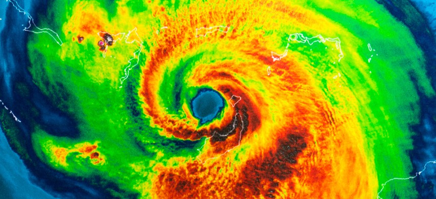
Local governments are increasingly turning to cloud-based mapping to assist first responders and residents during disasters in the wake of the devastating 2017 U.S. hurricane season.
When Hurricane Harvey hit Texas on August 26, 13 Superfund sites—places contaminated by hazardous waste and designated for cleanup by the Environmental Protection Agency because of the public health risks—were flooded or damaged.
Houston police officials partnered with location technology company Mapbox to create a map that aggregated EPA data to visualize industrial facilities and other pollution-generating buildings in flooded areas, which posed a potential threat to public safety.
The Washington, D.C.-based company also worked with Catholic Charities USA and data scientists in the nation’s capital to create a social vulnerability map using Census Bureau data from the American Community Survey.
The map showed where unemployed, low-income, youth, seniors, and non-native speakers were concentrated down to the census tract level, so agencies lacking mapping expertise would know where to target aid. Distribution centers were set up and volunteers re-assigned accordingly.
Mapbox’s platform makes use of open-source OpenStreetMap and the Amazon Web Services cloud for scale to aggregate 250 million miles of telemetry data each day along with datasets customers provide. Both the Weather Channel and Snapchat app maps are powered by the platform.
The platform has also proven useful for post-disaster imagery processing.
When the National Oceanic and Atmospheric Administration flew over Texas, Florida and Puerto Rico taking aerial photos of hurricane damage, Mapbox made the images available to the affected populations.
“It’s essential that’s available as fluidly as possible,” Mikel Maron, Mapbox community lead, told Route Fifty. “It became a way for people to see what had happened to their homes, as well as for first responders to assess damage.”
The Tubbs Fire became the most destructive wildfire in California history in October, razing about 5,500 structures primarily in Sonoma County and the city of Santa Rosa.
Sonoma County and its Sheriff’s Office took high-resolution unmanned aerial vehicle imagery of the damage, a large amount of data Mapbox got online and made it all accessible through mobile devices.
Telemetry data comes in handy when analyzing residents’ travel patterns in and around disaster areas, Maron said. Responders are typically looking for changes in baseline traffic volumes and destinations.
As people evacuated ahead of Harvey, primary road concentrations leapt to 150 percent compared to 60 to 75 percent increases on secondary and tertiary roads respectively, Maron said.
“Usually the night before is when people start moving onto the roads,” Maron said of Mapbox’s Texas and Puerto Rico findings.
In the case of Puerto Rico, travel patterns still haven’t returned to normal following September’s Hurricane Maria, Maron added.
Last year, the Massachusetts Institute of Technology’s Risk Map project in Broward County, Florida leveraged the platform to analyze mentions of flooding in social media posts. A bot engaged the poster in a more detailed conversation about flood levels in the area, and images were assessed using a virtual tool to determine water levels relative to cars or buildings in the photo.
Data from flood sensors across South Florida was also aggregated, and RiskMap.us was shared with disaster operations units at the county and city level.
Work on the app will continue this hurricane season, Maron said.
“The county can get an operational view from crowdsourcing of what people are experiencing on the ground,” he added. “Partnerships to get new technology like this integrated into disaster management workflows takes time and effort, and you need to be there not just at the emergency but year round as you’re preparing.”