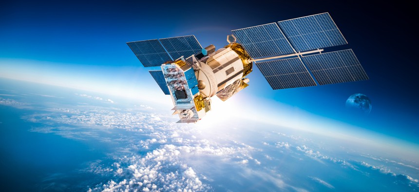
The U.S. Government Wants to Start Charging for the Best Free Satellite Data on Earth

Andrey Armyagov/Shutterstock.com
The government says the cost of sharing the data has grown as more people access it.
The U.S. government may begin charging users for access to five decades of satellite images of Earth, just as academic and corporate researchers are gaining the tools they need to harness them.
Nature reports that the Department of Interior has asked an advisory board to consider the consequences of charging for the data generated by the Landsat program, which is the largest continuously collected set of Earth images taken in space and has been freely available to the public since 2008.
Since 1972, Landsat has used eight different satellites to gather images of the Earth, with a ninth currently slated for a December 2020 launch. The data are widely used by government agencies, and since it became free, by an increasing number of academics, private companies and journalists. “As of March 31, 2018, more than 75 million Landsat scenes have been downloaded from the USGS-managed archive!” the agency noted on the 10th anniversary of the program.
Now, the government says the cost of sharing the data has grown as more people access it. Advocates for open data say the public benefit produced through research and business activity far outweigh those costs. A 2013 survey cited by Nature found that the dataset generated $2 billion in economic activity, compared to an $80 million budget for the program.
The Landsat data is considered especially valuable by companies that use machine learning to analyze Earth imagery because of the breadth of the database. While Sentinel, a European Space Agency program, provides similar data to Landsat, it only offers free imagery dating back to 2017. The growing corps of venture-backed Earth-imaging companies, like Planet and IceEye, can likewise only offer data captured in the last several years.
Descartes Labs, for example, has used Landsat data to train the algorithms that provide its clients, including academics, government agencies, oil companies and manufacturers, with useful intelligence from the satellites constantly monitoring our planet.
“I would argue that Descartes would probably have not gotten off the ground if there was a substantial price tag on this government data,” Karen McKinnon, a scientist at the company, told Quartz.
McKinnon described a project mapping the historical change of surface water in the U.S., which required pulling down 150 terabytes of Landsat data covering the U.S. from 1982 until the present day. Understanding those trends could allow environmental researchers, farmers, ecologists, and city planners work more effectively.

“This data is underused now,” McKinnon says. “There hadn’t, until now, been the ability to easily scale up in the cloud.” Just a few years ago, academics and small companies would not have been able to tackle her water identification project.
McKinnon had to develop the software to recognize that muddy river deltas, algae-covered ponds, and crystal blue lakes are all surface water. In previous years, Descartes chief technology officer Mike Warren says, the company would have also needed to fill a room with expensive servers, hire a team to manage them, and develop a custom protocol to run her program on a dataset that large. Advances in cloud computing commercialized by Google and Amazon allow researchers to pay cheap rent for computing power, enabling lean teams to tackle ambitious problems.
Now, just as they are able to bring powerful new tools to bear on the Landsat imagery, researchers may need face new charges for the data.
Warren notes that attempts to charge for the data may end up costing more than they return in profit, due to the complexities of satellite data—and the possibility of gaming the system. Most government data are not protected by copyright law. Back in the “early days of digital maps,” the U.S. Geological Service would mail researchers a CD full of topographic maps for a fee, but because the data weren’t copyrighted, users could band together to split up the data, each order one or two CDs, and then share them all for free.
“There may be some shenanigans involved in trying to protect from copying [Landsat data],” Warren says.


