How Satellite Technology is Helping the Government Make Data-Driven Decisions
vchal/Shutterstock.com


Overhead space systems can capture and deliver visual data far more effectively than ever before.
When it comes to collecting visual data activity on Earth, there is no better vantage point than space. As a result, both government and corporate organizations are investing heavily in space-based sensor technology, which promises to provide an unprecedented quantity of actionable data to be stored, analyzed and leveraged for insight.
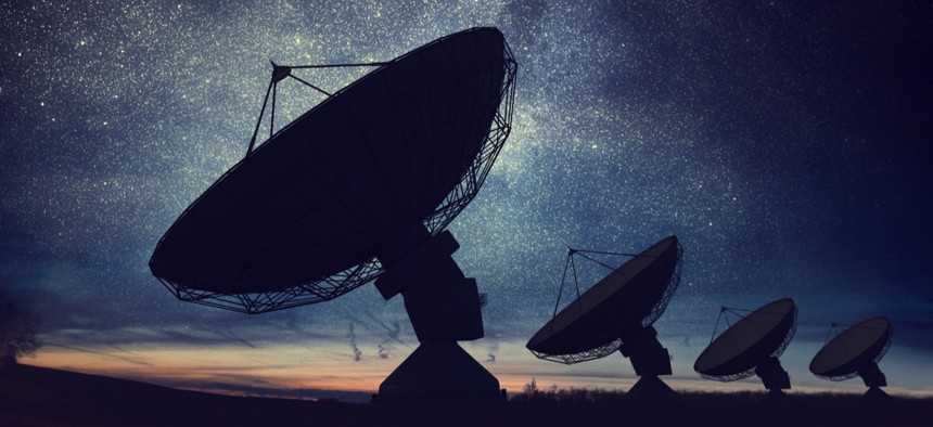
Overhead space systems–the term used to describe the various satellite systems operating in Earth’s orbit–serve as an important component for today’s public and private sector’s digital infrastructure. Sensor technology, and the satellites that carry them through orbit, have evolved substantially over the past few years. With artificial intelligence and machine learning applications improving at a rapid pace, overhead space systems can capture and deliver visual data far more effectively than ever before.
Taking pictures from space is not a new phenomenon; the first orbital images were captured 71 years ago by the V-2 Rocket, a long-range, German-made ballistic missile. Then in 1972, the U.S. Apollo 17 captured the first full shot of the illuminated Earth from a distance. NASA’s first satellite photographs were-captured by the U.S. Explorer 6, a sub-orbital spaceflight designed to track the Earth’s cloud cover.
Today, the vast majority of images captured in space are collected by satellites orbiting the Earth. Thanks to advancements in technology, these modern satellites are lighter, smaller and cheaper than their predecessors, enabling them to carry more sophisticated payloads in far greater numbers. The cameras they have also benefited from having similar cost and performance trends—compare your current smartphone camera to 10 years ago—enabling today’s satellites to capture incredibly high-definition photos and video.
The hardware onboard satellites is not the only major tech evolution when it comes to space photography. Improvements in AI and machine learning have empowered today’s satellites with the digital intelligence needed to analyze this new data.
Satellites essentially function as vacuum cleaners for data, gathering petabytes of satellite images on a weekly basis. The real-time influx of data requires AI-driven pre-sorting, where the camera’s system sifts and targets only the most useful information pre-processed using spectral calibrations tailored to different commands. The satellite employs machine learning to optimize image selection as it continually becomes more effective at targeting the images that its user is hoping to capture. And while the computer systems on board the satellite are highly effective at capturing and pre-processing images, the small space is not ideal for large-scale data storage or high-powered analytics.
That’s where the ground stations come into play. Decades ago, when ground stations were few and far between, satellites could go many hours before finding a suitable place to transmit data down to the earth’s surface. Today, ground stations are comparatively ubiquitous, enabling satellites to continually download information from space. After the images are successfully transmitted, the much more powerful computers on the ground run their AI algorithms to sort, analyze and prepare the data per their respective customers’ specifications.
So how do we use powerful cameras armed with smart AI orbiting the earth at 7,000 mph?
Satellite images have long had an influence on improving environmental and public safety efforts. In more recent years, wildfires have appeared in the western United States more harshly than ever, and last year’s California wildfires were no exception. Early and real-time detection by satellites improved response times by delivering crucial real-time information regarding on-the-ground conditions and providing first responders with actionable insight into which approaches would be the most safe and effective.
Environmental agencies can use satellite images over time to determine shifts in ecological activity, like a swampland drying up or a lakebed flooding. Tax officials leverage data gathered by satellites to make more accurate assessments of land type use—shots from space help auditors differentiate farmland from commercial to residential without having to travel.
Transportation departments rely on real-time satellite imagery to help them understand traffic flow patterns to alleviate congestion. For city economic advisors, pictures of parking lots in front of large retailers before major shopping holidays can help the local government more accurately predict sale surges. And finally, for our troops abroad, increased AI computing power has made it possible to combine highly detailed images over large areas, mapping the “before” and “after” shots to provide real-time insight to outsiders as events unfold.
Most of us know that satellites play a role in our weather forecast and our GPS systems, but today’s satellites—armed with high-powered sensor technology powered by AI and machine learning—are helping agencies at both the federal and state level make smarter decisions for their citizens.
Douglas Postman is senior vice president of space and airborne engineering for Centauri.