Thousands flee Colorado Springs fire
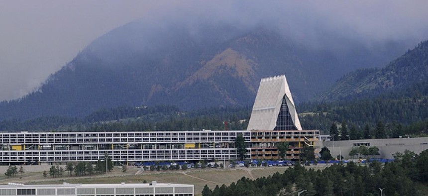
The Air Force Academy in Colorado Springs. Air Force


 By
Bob Brewin
By
Bob Brewin
Air Force Academy evacuates 2,100 residents as it prepares for the arrival of a new class of cadets.
A raging wildfire that has tripled in size since Tuesday has forced 32,000 Colorado Springs, Colo., residents from their homes and another 2,100 from the Air Force Academy located just north of the city.
Federal fire managers eyeballed the spread of the fire on map developed from an overnight flight of a Forest Service aircraft equipped with an infrared imaging and mapping system.
The City of Colorado Springs issued a mandatory evacuation order for people living in the northwest part of the city as the Waldo Canyon fire in Pike National Forest exploded from 8 square miles to 24 square miles overnight. Federal wildfire managers predicted “extreme fire behavior with extreme rates of spread” Wednesday as 764 firefighters battle the blaze in 90-plus degree temperatures.
Ann Rys-Sykora, a spokeswoman for the response effort, said as the fire spreads she expects the number of evacuations to increase in areas west of the city.
John Van Winkle, an Air Force Academy spokesman, said residential areas on the 28-square-mile base house personnel from other installations in the Colorado Springs area, including Fort Carson and Peterson Air Force Base as well as academy personnel and their families. The Army is providing emergency housing at the Fort Carson Special Events Center, but residents can use alternative housing as long as they inform their commands, Van Winkle said.
The fire also dumped ash on the campus, which will see the arrival of 1,000 new cadets in the class of 2016 tomorrow. Van Winkle said the academy intends to continue with its plans to host the new class, despite the fire.
The Air Force said it made 20 drops on the Waldo Canyon fires yesterday from four C-130s equipped with Forest Service-owned modular airborne firefighting systems that can dump 3,000 gallons of fire retardant over an area 60 feet wide for one-quarter of a mile. Rys-Sykora said due to weather conditions, smoke and the demand for C-130s to fight other Colorado fires, these aircraft would not be deployed on the Waldo Canyon fire Wednesday.
Fire managers were able to precisely calculate the huge growth of the Waldo Canyon fire based on imagery captured overnight by the Forest Service’s Phoenix infrared fire detection and mapping system, said Thomas Mellin, manager of infrared operations for the Forest Service.
Mellin said a Beechcraft King Air turboprop equipped with the Phoenix system mapped the Waldo Canyon and other fires Tuesday night, downloading data over the AirCell Inc.-operated aircraft cellular system that can transmit data to the ground at a rate of 1.8 mbps to a secure file transfer protocol website. Imagery interpreters then pulled that data and develop digital fire maps for 5:30 a.m. delivery to fire scene managers responsible for planning daily firefighting operations.
A key fire information website, InciWeb -- an interagency system that tracks wild land fires and provides information to firefighters and the public, has experienced problems this week, according to Mike Ferris, spokesman for the National Interagency Fire Center in Boise, Idaho. The site has been slow or impossible to load, which Ferris attributed to higher than normal traffic.
NEXT STORY: Video: U.S. zaps target in missile defense test