The Startup That Watches Corn Grow, From Orbit
PhotographyByMK/Shutterstock.com


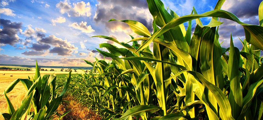
Descartes Labs is estimating the health of the American corn crop every week this harvest season.
The continental United States, from sea to shining sea and across all those purple mountains, stretches some 3.1 million square miles. About 4 percent of that land, some 150,000 square miles, is devoted to growing just one kind of amber grain: maize.
Corn is the dominant American crop, produced in greater quantities in the United States than anywhere else. From Midwestern soil it flows to popcorn bags, feed troughs, car gas tanks and a widely used sugar substitute. The U.S. goes to enormous pains to understand and underwrite this economic engine. Every month between August and January, the Agriculture Department releases a major forecast of how corn is doing in various states.
The government is not the only entity to predict output in this way—insurers and financial intelligence firms do it too—but, this week, farmers in search of forecasts will have a new place to turn. Starting Wednesday, a company called Descartes Labs will release weekly summaries of how the maize crop is faring in the United States. The estimates, based primarily on algorithmic analysis of satellite data, will estimate corn yields at the national, state and county level. They’ll be available for free through Descartes Labs’s website and app.

This is the second harvest for which Descartes will release weekly estimates. Last year, the company forecast maize production for individual states and for the country as a whole. (Paying customers have access to the company’s API and its two-day updates.)
But this year it has updated its data sources. Last year, most of its data came from the U.S. government’s two MODIS satellites, Terra and Aqua. That had upsides—the MODIS system images North America at least once every two days, and it captures a wide range of light frequencies—but it also limited the detail that Descartes could detect. At their most precise, Terra and Aqua only capture pixels that are 250 meters to a side.
Descartes has now expanded their forecast to include imagery from two more satellite programs: Landsat, an American satellite constellation that has observed the Earth for 34 years; and Sentinel, the new European program designed to complement it. In contrast to MODIS, Landsat produces pixels that are 30 meters to a side, and Sentinel captures some 10-meter imagery.
Descartes’ forecasts will also soon encompass data from Planet, a San Francisco-based startup that aims to put more than 100 Earth-observing satellites into orbit.
“So many satellites are going up over the next two years, just in terms of the launch schedules,” Mark Johnson, the CEO of Descartes Labs, told me. “We’ve built this system because we believe that the Planet archive alone is going to produce 20 terabytes of imagery per day, and maybe more.”
Descartes’ forecasts have also seemed to drive the national maize market. When it announced the corn harvest would trail USDA’s estimate last August, it moved the market by 3 percent. Johnson said he expects this year to affect individual farmers’ lives more because Descartes now estimates county-level data—which may help people better know which local silo to sell corn to.
In other words, Johnson’s hope is that the rewards of algorithmic analysis and orbital sensing won’t be limited to major financial firms. It’s a hope many companies are expressing. In the years to come, as low Earth orbit floods with tech-financed satellites, it will be fascinating to see whether it comes true.