Interior Department's Plan to Stop Drones from Blocking Firefighters
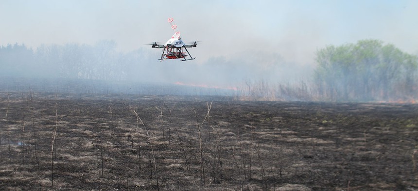
A drone designed to ignite controlled grass fires comes in for a landing in a field at the Homestead Monument of America in Beatrice, Neb., on Friday, April 22, 2016. Grant Schulte/Shutterstock.com


The "Know Where Not To Go" data set tells drone operators where wildfire response might be happening so they can avoid flying there.
Drones veered close to wildfires in more than 40 instances last year, and in at least 12 incidents so far have interfered with the firefighters trying to extinguish the flames.
Private drone interference is a growing problem for emergency responders, according to the Interior Department. In 12 recorded cases so far, unmanned aerial vehicles have forced firefighting pilots to delay or cease their flights to avoid collisions. Recorded cases of drones intruding on wildfires jumped from two in 2014 to 42 in 2016.
In response to that upswing, Interior is building a database that could show unmanned aerial vehicle operators a detailed map of where not to fly. Once they register on a government-operated website, users can access the "Current Wildland Fires" database through mapping software company Esri's ArcGIS platform.
» Get the best federal technology news and ideas delivered right to your inbox. Sign up here.
There are about 73,000 wildfires each year in the United States and in the vast majority of incidents, the fires are extinguished before the Federal Aviation Administration, which issues temporary flight restrictions, is notified. Ideally, Interior's database would show wildfires reported by federal, state and local groups in the last eight days, updating a previous system that showed data from the last 72 hours. A new version of that system incorporates more data sources than before, including the Interior Department, the Forest Service, Wyoming, North Dakota, Alaska, Texas and Los Angeles County.
Allowing the public to see fire location data would help drone operators avoid areas where emergency responders might be flying, Mark Bathrick, director of the department's Office of Aviation Services, said in a statement. Interior announced the new version of the system at the top of 2017's wildfire season.
It's not yet clear how the Interior Department plans to prevent users from using wildfire maps to intentionally interfere with emergency response; Nextgov has requested comment.
FAA requires drone hobbyists to register with the federal government if their vehicles weigh more than 0.55 lbs.