Cloud for Public Good: Amazon Now Hosts Largest Public Collection of Satellite Imagery
ESRI


 By
Frank Konkel
By
Frank Konkel
AWS will host thousands satellite images in its public cloud through a partnership between the U.S. Geological Survey and NASA.
Amazon Web Services is the most well-known and probably the most used cloud provider in the federal government, reaping rewards from innovative efforts in the intelligence community, Defense Department and civilian government.
Yet, the company that turned cloud computing into a lucrative business doesn’t mind pitching in free services from time to time if it serves a public good.
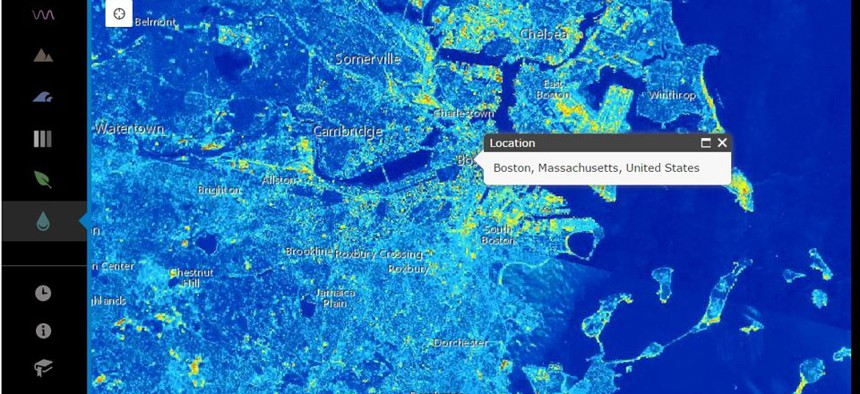
In a blog post Thursday, AWS announced it will host more than 85,000 Landsat images in its public cloud through a partnership between the U.S. Geological Survey and NASA.
To be clear, that imagery is already publicly available. It is widely used in multiple sectors for myriad uses. Yet, because USGS can’t offer the data for high-volume use, developers ultimately do spend significant resources on computing, data storage and bandwidth, alone.
Hosting the data sets on Amazon S3 alleviates that issue, allowing anyone to use AWS’ on-demand resources. Companies like Esri, Mapbox, MathWorks, Planet Labs and Development Seed have launched new projects and applications using the data. They’re all worth checking out.
In the blog post, Amazon’s open data technical business manager, Jed Sundwall, said AWS committed to hosting up to a petabyte of Landsat data in an effort to contribute to the White House’s Climate Data Initiative.
AWS already hosts several public data sets in the cloud, including some particularly well-known efforts like its 1000 Genomes Project, in collaboration with the Department of Health and Human Services.
NEXT STORY: Cutting-edge agency goes old-school