Google's growing web of street traffic surveillance
Jojje/Shutterstock.com


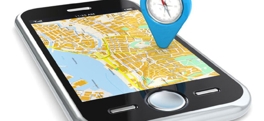
The phone in your pocket could be monitoring traffic.
It's an increasingly common navigational experience in the age of connected and app-enabled phones: you can see yourself as a little dot on the map, moving on your screen as you move in the physical space of the world. You see your map, your map sees you. And if your map is a Google Map and your screen powered by the Android operating system, you can see your map seeing you and many of the people around you.
This collection and sharing of locational information is the basis behind the traffic-tracking layer on Google Maps. By combining all those devices' location points and detecting the speeds at which they're moving, Google is able to infer how quickly traffic is moving on major streets and highways. Originally launched in 2008, it can be a really useful layer of urban information, representing real-time conditions.
And as the company recently announced, it's growing. More than 130 cities and small towns all over the world have been added to the project, including places like Kalamazoo, Michigan, Tuscaloosa, Alabama, and Latin American cities like Bogota, Colombia, and San Jose, Costa Rica. With more than 400 million Android users throughout the world, Google is finding that it has enough of a data mass in many more cities to provide this information. This map shows all the locations throughout the world where Google is mapping traffic conditions using phone data.
Read more at The Atlantic Cities.
Read more at The Atlantic Cities.
(Image via Jojje/Shutterstock.com)