NOAA to Use Microsoft AI to Advance Protection of Endangered Species
Tarpan/Shutterstock.com


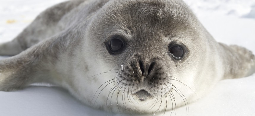
The technology will help researchers determine ice seals from rocks and free up scientists from data notation.
National Oceanic and Atmospheric Administration research scientists are tapping into artificial intelligence capabilities from Microsoft to advance their efforts to study and protect endangered species.
According to a blog post published Wednesday, this spring NOAA scientists will deploy AI to boost their monitoring of endangered beluga whales, threatened ice seals and polar bears, and possibly other animals as well.
“The teams are training AI tools to distinguish a seal from a rock and a whale’s whistle from a dredging machine’s squeak as they seek to understand the marine mammals’ behavior and help them survive amid melting ice and increasing human activity,” the post said.
Collaboration on the AI projects came together over the last few years and was sparked by Erin Moreland, a NOAA scientist who had grown frustrated with the time she was spending tediously sifting through grainy images to spot endangered species—especially when she knew technological capabilities existed that could do the job and free her up for more meaningful work. At jury duty in 2018, Moreland serendipitously overheard other jurors speaking about AI and when she mentioned her work, they pointed her in the direction of Microsoft’s AI for Earth program. Dan Morris, a principal scientist and the program’s director, encouraged Moreland to pitch the problem to the tech-giant’s hackathon.
Eventually 14 Microsoft engineers signed on to help Moreland in her work.
“AI tools empower scientists like our NOAA collaborators to spend less time on tedious data annotation, and more time answering urgent environmental questions,” Morris told Nextgov Wednesday.
After much preparation and development, Moreland’s project set for this April and May will use improved cameras and AI technology on a NOAA turboprop airplane. The tech—and Microsoft’s cloud capabilities—will be put to work as the plane flies over a sea north of Alaska and simultaneously scans and classifies the imagery captured “to produce a population count of ice seals and polar bears that will be ready in hours instead of months.”
Another NOAA scientist also will apply a similar algorithm to recordings gathered from across the bottom of Alaska’s Cook Inlet in an effort that ultimately aims to help researchers “quickly decipher how the shrinking population of endangered belugas spent its winter.”
Once scientists work through and analyze the data that’s collected, they’ll also report it out to various NOAA officials, including Jon Kurland, the agency’s assistant regional administrator for protected resources in Alaska. He oversees conservation and recovery programs in the area.
“There’s basic information that we just don’t have now, so getting it will give us a much clearer picture of the types of responses that may be needed to protect these populations,” Kurland said in the post. “In both cases, for the whales and seals, this kind of data analysis is cutting-edge science, filling in gaps we don’t have another way to fill.”