NASA Just Released 1,000 Weirdly Beautiful Mars Photos
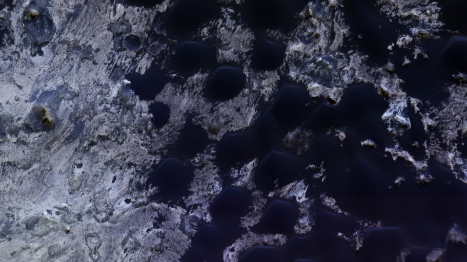
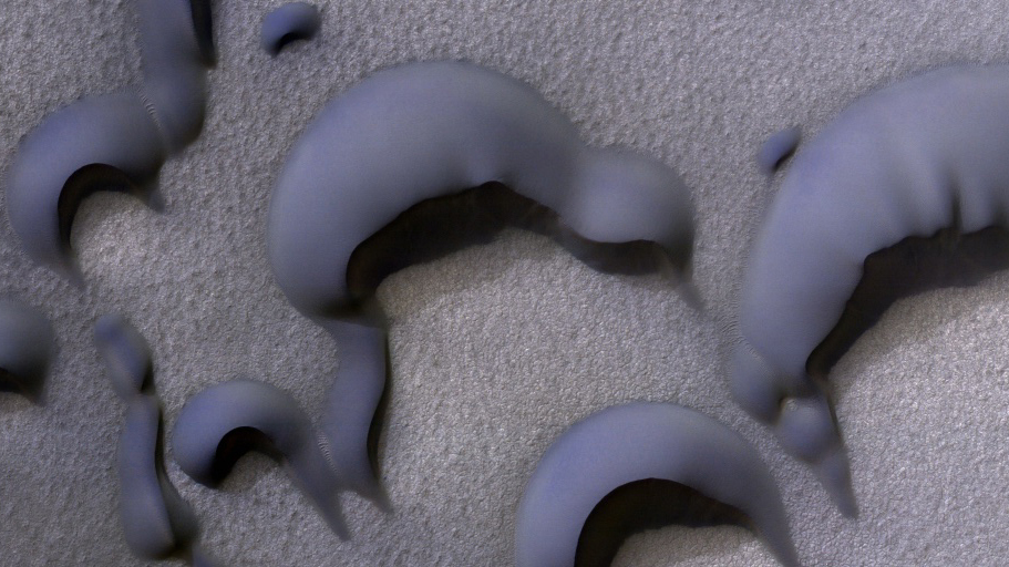
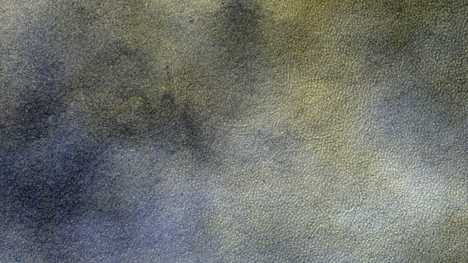
Mini-Chaos Terrain East of Hooke Crater NASA/JPL/University of Arizona


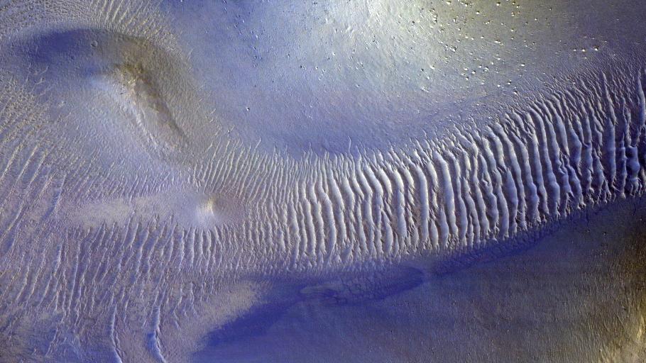
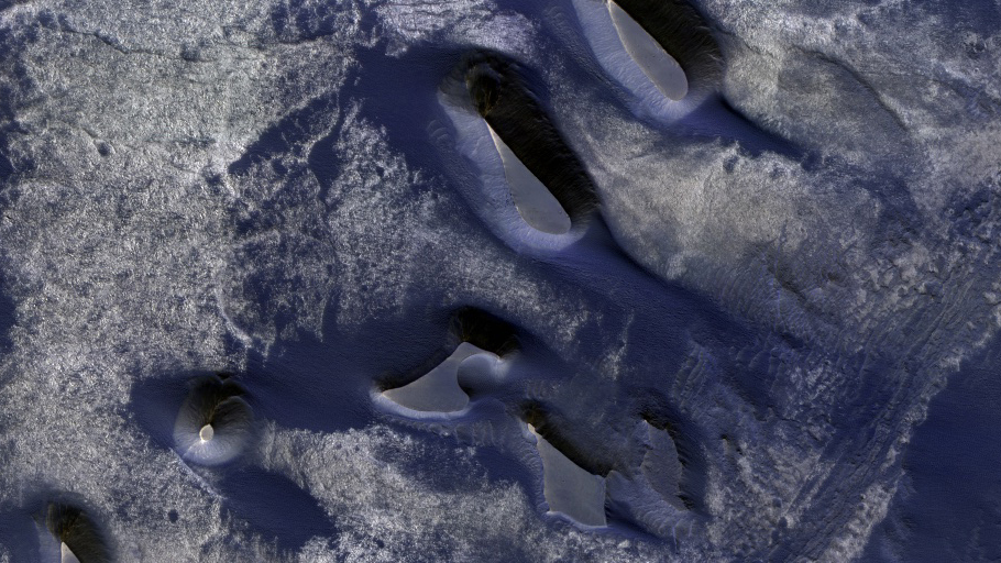
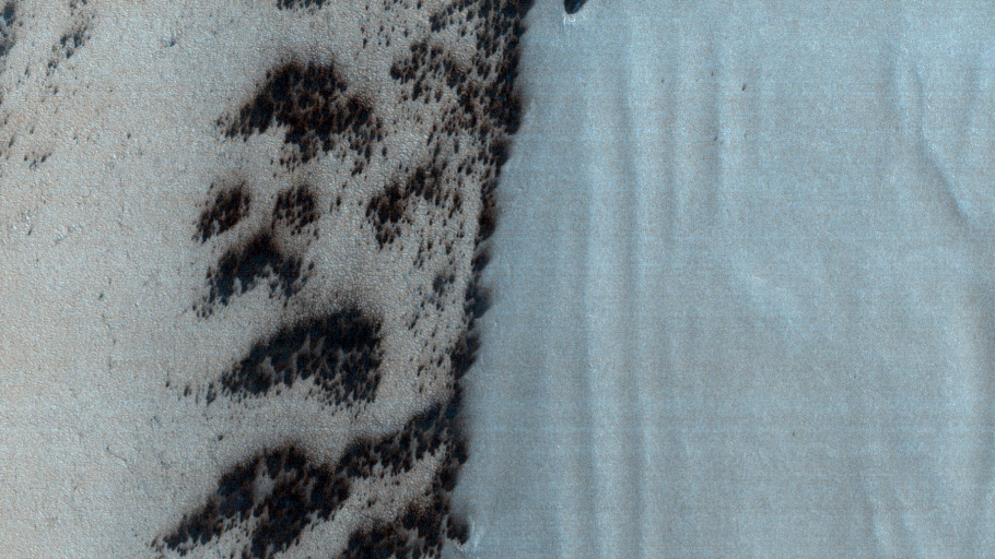
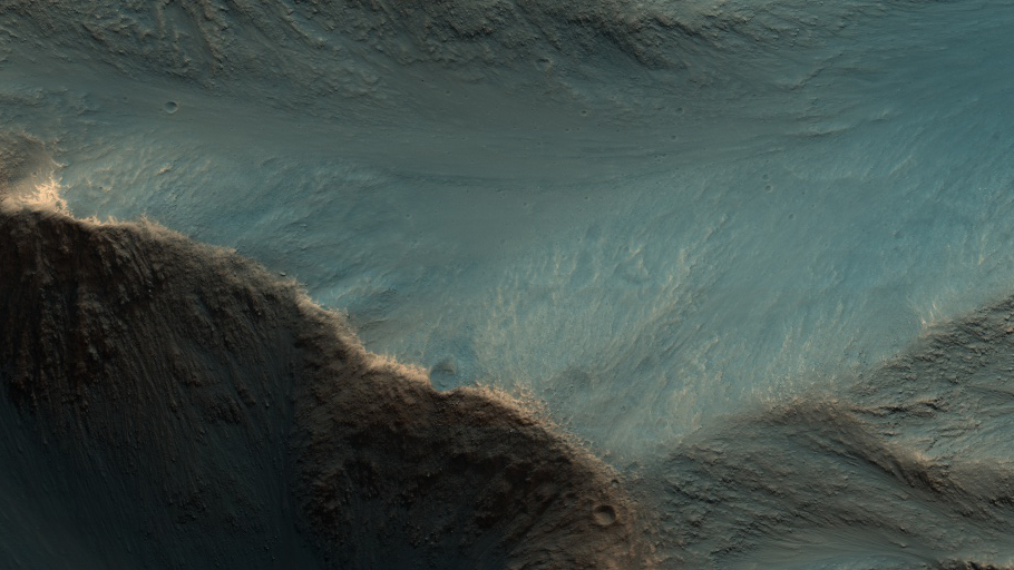
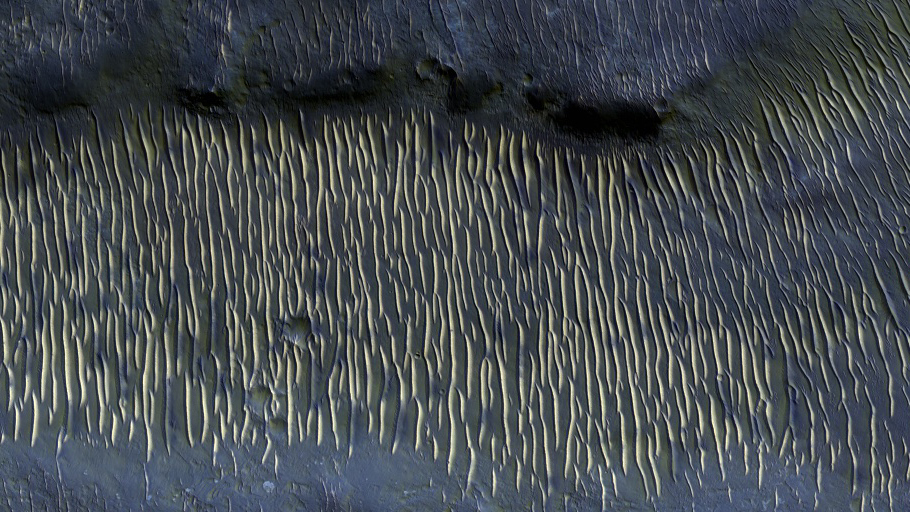
The results are the images created by the High Resolution Imaging Science Experiment camera, the highest-resolution instrument equipped on the Mars Reconnaissance Orbiter.
The spring equinox of Mars this year is a particularly auspicious time for scientists who study the red planet’s surface.
On July 4, both the planet’s north and south poles were exposed to sunlight, allowing us to capture images from all over Mars. It was also a time when Earth and Mars came closest to each other in the current 26-month cycle, lining up in a straight-line formation on one side of the sun.
Because of this (relatively) close encounter, the Mars Renaissance Orbiter, the spacecraft that collects data from the planet, could send information back to Earth at its peak data transfer rate. This allowed scientists to create more abundant and clearer images of Mars’ uncharted territories than in any other month of the orbit.
The results are the images created by the High Resolution Imaging Science Experiment camera, the highest-resolution instrument equipped on the MRO. The images were released Aug. 3 on the project’s public catalog.
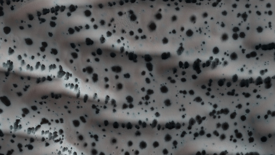
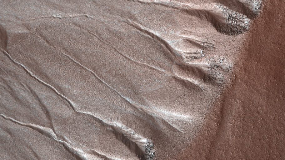
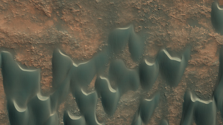
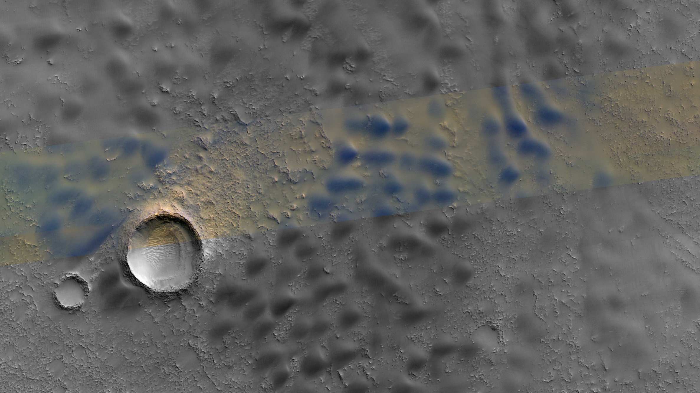
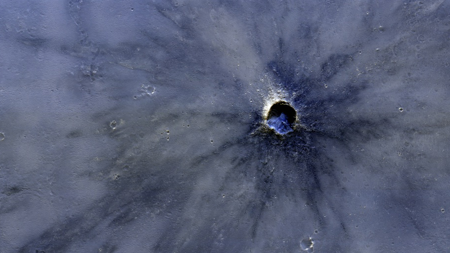
The images don’t reflect the natural colors of Mars.
“The dust in the atmosphere affects everything we see, and we try to process the images to normalize that,” says Alfred McEwen, lead scientist of the HiRISE project and planetary geologist at the University of Arizona. ”We stretch these images digitally taking the minimum values and maximum values to show the features.”
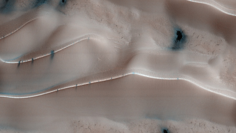
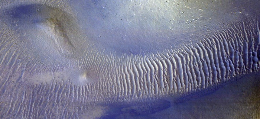
Similar to satellite images created in “false colors,” the HiRISE images show what naked eye cannot see: instead of showing dull, reddish dust in the Martian atmosphere, the processed images have enhanced contrasts to highlight territorial features, represented with ranges of synthetic reds, blues and whites.
Red indicates areas covered by dust settling from the atmosphere, blue represents rocky and sandy regions, and white is a sign of frosty surfaces of both water and dry ice. Analyzing these synthetic colors, shapes, and forms can help scientists better understand what we are really seeing on Mars.
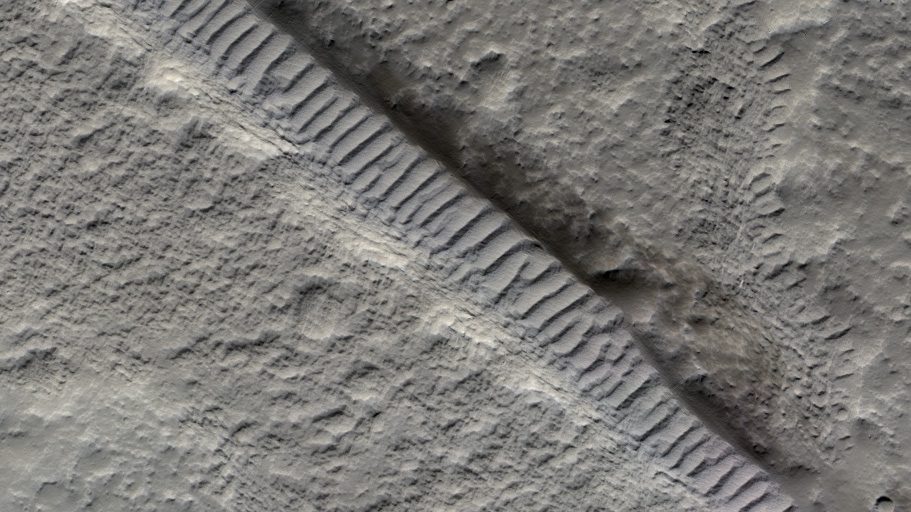
These images are valuable for identifying future landing spots for rovers, says McEwen, and would help future landers to avoid small hazards like boulders. They are also helpful for studying basically everything on the surface of Mars: geological history, migrating sand dunes, dry ice jets and other geological processes.