NGA seeks 3D imaging tool


The National Geospatial Intelligence Agency is looking for the state-of-the-art in rendering satellite images in 3D.
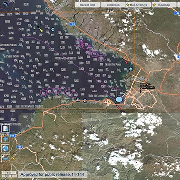
WHAT: The National Geospatial-Intelligence Agency is looking for software to construct 3D renderings out of commercial satellite images
WHY: Point clouds are used to render schematic drawings for 3D printers, and are a key element in moving designs off the drawing board and into real life. The National Geospatial-Intelligence Agency is looking to apply this principle to mapping, by taking multiple satellite images of a location to create a 3D image or model.
The military and intelligence applications are readily apparent. Such a system could be used to design mockups of remote, perilous, or fortified locations for use in surveillance or attack. NGA is seeking information on how commercial providers, academics, and other developers are creating true 3D images from 2D satellite pictures, to get a sense of what might be possible in a future procurement.
NGA is interested in a system that could create 3D renderings of urban and rural landscapes, as well as those that are "feature rich and feature poor." The tool should be able to render images in changing light of day and of the seasons, be able to ingest multiple images of the same location, and render large swathes of territory – in the hundreds of square kilometers.
3D imaging could provide yet another layer of data to the massive geospatial Map of the World effort currently underway at NGA. Outgoing NGA Director Letitia Long described the Map as a tool of "immersive intelligence" in an April interview with FCW. "Immersion will break down the barriers between collectors, analysts, customers and decision-makers," Long said.
NGA is hoping to have responses in from interested parties by Aug. 28. Click here to read the request for information.