Soldiers to Help Crowdsource Spy Maps
Andrija Markovic/Shutterstock.com


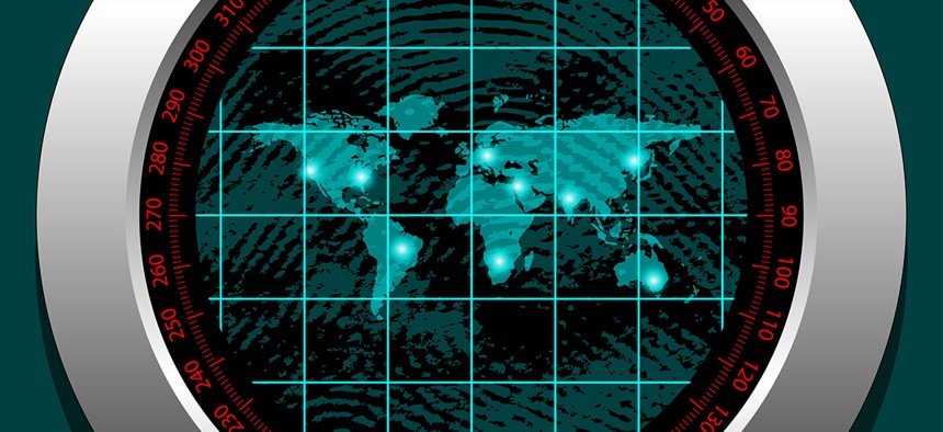
Because satellite connectivity can be too spotty to obtain high-fidelity images for spies in remote locations, some intelligence officials say they welcome the expansion of social mapping.
The Pentagon plans to flesh out satellite imagery partly by crowdsourcing data transmitted from soldiers venturing into loosely charted spots.
"Every soldier is a sensor," said Jennifer Ivey, a spokeswoman for the U.S. Army Geospatial Center. "Wherever they are sent to do their mission, they collect data to improve situational awareness."
Because satellite connectivity can be too spotty to obtain high-fidelity images of remote locations for spies, some intelligence officials say they welcome the expansion of social mapping.
An Army geodata program summarized in 2017 budget documents is researching "methods to ingest geospatial data directly from soldiers (i.e., crowdsourcing)" so the foot soldiers can shed light on foreign societies and economies.
The hope is to augment existing geographic data sets with a "rich context of the human dimension, which offers a holistic view of the operational environment for the warfighters," the budget states.
Sue Gordon, the deputy secretary of the National Geospatial-Intelligence Agency, which provides maps to spies, called the Army's concept brilliant.
She likened the collective approach to “mapping parties” where volunteers meet at a bar or other specified destination and explore the surrounding area to diagram points of interest. Typically, the pedestrians drop pins and notes on the OpenStreetMap website, a wiki map of the world.
In Greater London, mapping parties increased edits on OpenStreetMap by newbies and long-term contributors alike, according to a 2013 paper published by the Association for the Advancement of Artificial Intelligence.
"What a great idea if we can get our soldiers adding fidelity to the maps and operational picture that we already have" in Defense systems, Gordon told Nextgov. "All it requires is pushing out our product in a manner that they can add data to it against a common framework."
Comparing mapping parties to combat support activities, she said, soldiers are deployed in some pretty remote areas where U.S. forces are not always familiar with the roads and the land, partly because they tend to change.
If troops have a base layer, "they can do basically the same things that that social party does and just drop pins and add data," Gordon said from a meeting room at the annual Esri conference. "Think about some of the places in Africa and some of the less advantaged countries that just don’t have addresses in the way we do" in the United States.
Libya could be a potential point of interest, Ivey said.
The Army, in essence, has been crowdsourcing geodata since soldiers began fighting wars, but now there are new databases that can more easily capture the data and push it out to troops, she said.
Specifically, Ivey referenced the Distributed Common Ground System-Army repository that "gathers intelligence spanning all echelons from space to mud," according to the program's website.
Turning soldiers into surveyors has been "evolutionary," Ivey said, explaining that "when we started operations in Iraq and Afghanistan, neither country was mapped at a currency that was very reliable."