How Lasers and 3-D Maps Can Help the U.S. Prepare for Climate Change
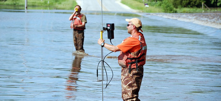
USGS personnel monitoring flood waters in Waverly, IA USGS


Federal flood maps are outdated, and climate change will only make them more so, leaving states and localities without the information they need to plan for and mitigate flood risks.
Federal flood maps are outdated, and climate change will only make them more so, leaving states and localities without the information they need to plan for and mitigate flood risks.
The Obama administration's solution? Lasers.
Specifically, the LIDAR (Light Detection and Ranging) System that uses a series of airborne lasers firing out 200,000 pulses of light per second that essentially function as radar. The result is a hyper-detailed 3-D map of the United States so precise it can detect the height of a median on a road.
The U.S. Geological Survey, which is spearheading the multiagency 3-D Elevation Program, says the map has the potential to avert billions in flood damage, overhaul infrastructure planning, revolutionize farming, and even make cars drive more efficiently.
"That level of resolution has never existed," said Kevin Gallagher, associate director of the USGS Core Science Systems. "When you talk about modeling what areas are going to flood, that can be the difference between a house being underwater or not."
The map has emerged as a surprise player in the White House climate action plan, getting $13.1 million this month for its potential to help states and localities prepare for extreme weather. With a more precise map, researchers could forecast, say, how heavy rains from an aggressive storm would generate floods or how rising sea water would spill into an estuary. The information can also be used to better study coastal erosion, water-resource planning, and landslide hazards.
The total benefits just from flood preparation are between $295 million and $502 million a year, according to a2012 USGS report.
But the survey agency says its own 3-D map can do far more than just prepare for heavy rains and rising seas. More accurate data on the elevation and slope of fields, for example, could lead to precision agriculture that maximizes the use of nutrients and reduces runoff of chemicals. Trucking companies have said they could use information on the slope and height of roads as they develop intelligent vehicles that can shift gears and accelerate to maximize fuel economy on hilly drives.
The data can even be used to identify fault lines—USGS used it to discover a surface rupture in Washington state along the Tacoma fault that led to the redesign of a $735 million suspension bridge. That data, USGS said, could provide guidance on where to avoid building major infrastructure or nuclear-power plants that would be at risk from earthquakes.
All told, USGS says that the 3-D Elevation Program could generate more than $1.2 billion a year in new benefits.
The $1 billion, eight-year project marks the first wholesale upgrade to the USGS topographic map in decades. For now, the map uses the best available data from each area—Gallagher calls it a "quilt"—that in some cases can be as much as 50 or 60 years old. Even with states like Alaska becoming early adopters of LIDAR, only 4 percent of the nation is currently covered with data as fine as 3DEP will be able to generate.
"In the beginning, we were literally walking around and using hand-held instruments to determine elevation," Gallagher said. "Now [with LIDAR] we can show you tree canopies and building structures. We're producing a set of data orders of magnitude greater … and that's going to meet a huge set of needs."
USGS will partner with other federal agencies, academics, states, and local partners for funding and technical assistance, including the Federal Emergency Management Agency, which stands to emerge a big winner. The agency is working to overhaul its flood maps that not only project flood risk, but help set rates for insurance premiums. This month FEMA announced the 20 members of its Technical Mapping Advisory Council that will develop recommendations for improvements to the flood maps.
Those maps are serious business: Sen. Mary Landrieu has particularly pushed for better flood mapping for her home state of Louisiana, where the unique coastal topography makes it a flood risk. The Democrat added $100 million to the Homeland Security spending bill for flood maps and at an Appropriations hearing last week hammered FEMA Administrator Craig Fugate to upgrade the "unacceptable" flood data, saying only 52 percent of maps were at the best available quality.
"Our work is far from over to build a better flood-insurance program that we can live with, grow with, and prosper with," said Landrieu. "This cannot—and will not—happen until we have accurate and reliable flood maps."
NEXT STORY: The CIA Fears the Internet of Things