What do Astronaut Photographs and Floods in Bangladesh Have in Common?
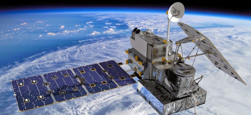
Artist’s concept of the Global Precipitation Measurement (GPM) Core Observatory, a joint international project of NASA and the Japan Aerospace Exploration Agency (JAXA). NASA


SERVIR, a joint NASA and USAID program that harnesses the power of space data for development work, has had tremendous success over the last decade.
When fishermen in El Salvador were inadvertently casting their lines into microalgae-infested water, the U.S. Agency for International Development turned to the skies for help. The agency worked with NASA to scan waterways -- satellite imagery can detect potential unsafe concentrations of microalgae -- and alert the locals about which ones to avoid.
This was just one of the many successes highlighted during a Sept. 17 town hall in Washington, D.C., on the joint program between USAID and NASA called SERVIR. Launched a decade ago, the initiative connects Earth observations from space satellites with development efforts based throughout the world.
“Our partnership with USAID has allowed us to apply space data to local villages,” NASA Administrator Charles Bolden said during the event.
The program was first implemented in Panama and today has expanded to more than 30 countries.
In addition to satellite data, the initiative also incorporates images of earth provided by astronauts and data from instruments on the International Space Station that track ocean winds, clouds and pollution.
“We recognized the synergies of two very different but complementary agencies,” said Dan Irwin, director of the NASA SERVIR Coordination Office.
In Bangladesh, flooding typically originates in rivers outside its borders, said Jennifer Frankel-Reed, senior climate change specialist at USAID, making it difficult for residents to get much warning before a flood strikes.
SERVIR’s data has given residents three extra days of warning, which has resulted in thousands of fewer deaths, she said.
NASA and USAID are not the only agencies involved in SERVIR. The program's team has also worked with the National Oceanic and Atmospheric Administration and the National Weather Service to boost weather forecasting and the Interior Department to support efforts to map Africa’s ecosystems.